
Powering Intelligence-Driven
Ocean Conservation
At Eyesea, we believe technology must deliver results. Accessible, actionable, and designed for everyone, powered by collaboration
Award-Winning Technology
-
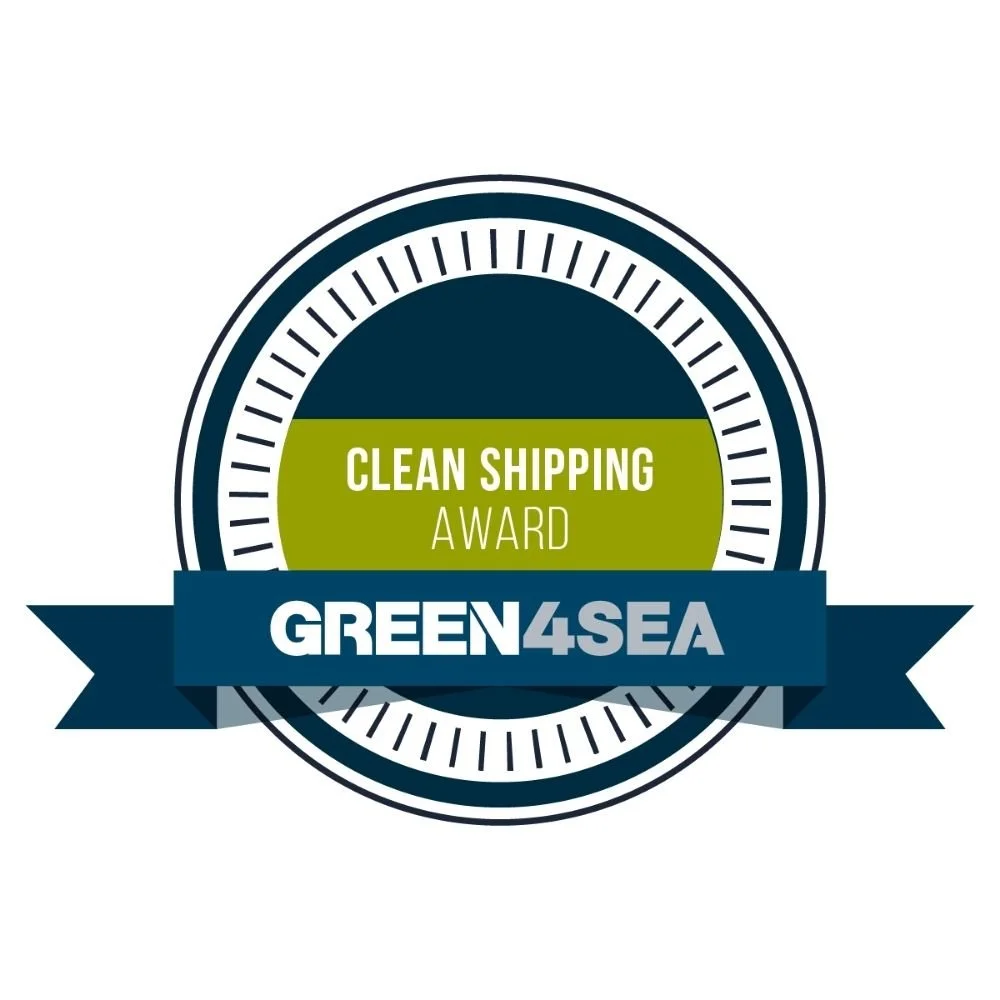
SAFETY4SEA GREEN4SEA Clean Shipping Award
-

SPNL Green Technology Award
-

SalmonChile Open Innovation Challenge Winner
-

Media Isle of Man Award for Excellence
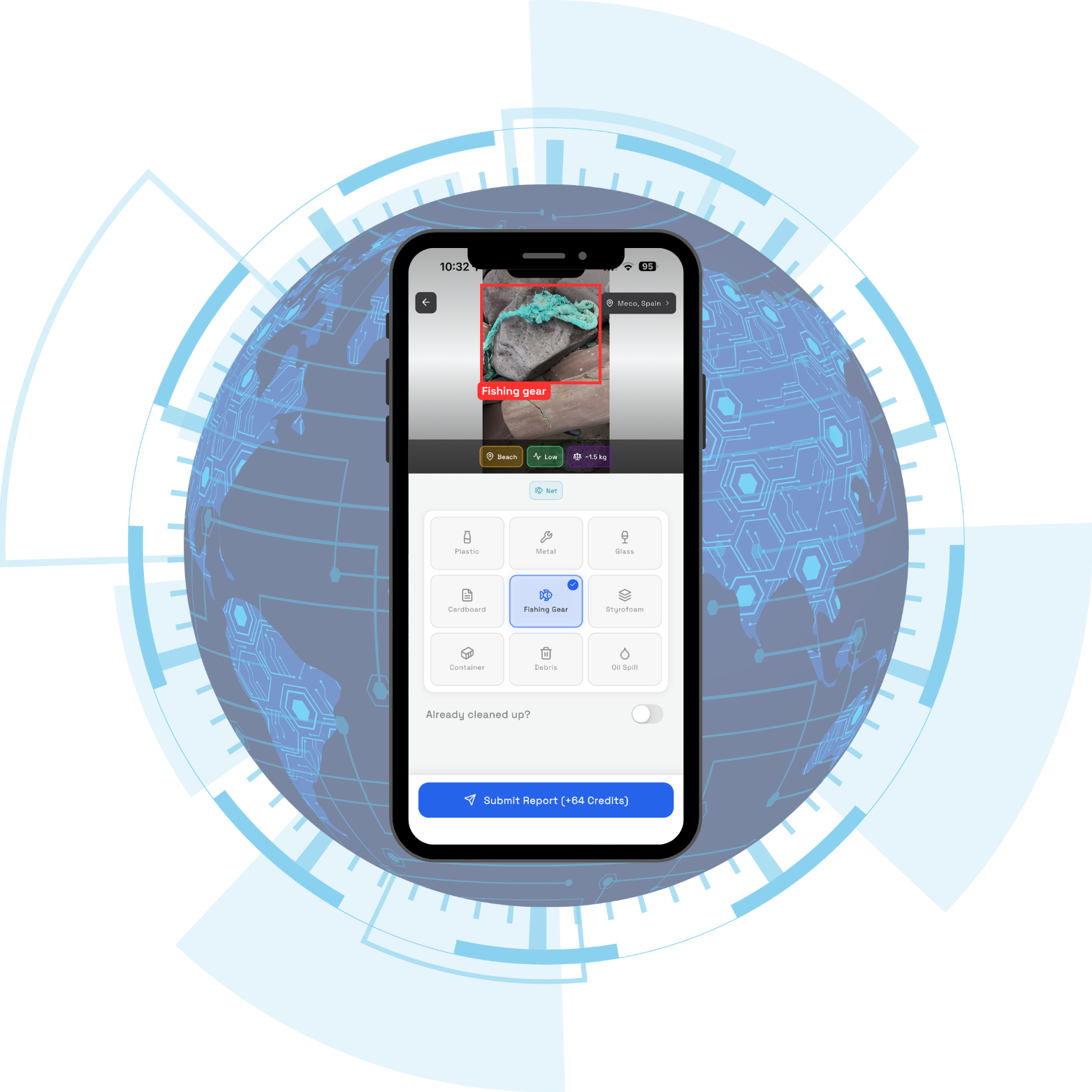
Eyes of the Sea, the Eyesea App
Crowd-sourced pollution evidence
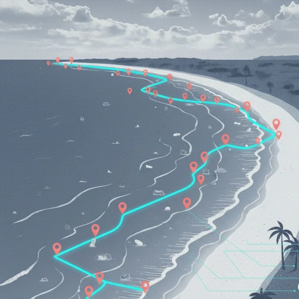
Everyday thousands of seafarers, and people in costal communities around the world are using the Eyesea app to document marine pollution in real-time. With a single photo, anyone can map pollution creating a living, worldwide map of ocean debris, fostering a global network of “eyes of the sea“. This serves as the foundation for data driven ocean conservation operations.


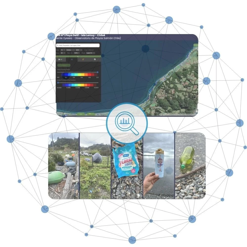
See Beyond, Satellite Spectrometry
Broadening our view with remote sensing
To amplify local reports, we use satellite spectrometry. This technology allows us to detect and quantify various pollutants over large, remote costal areas. It provides a comprehensive, objective assessment that delivers results at a fraction of the cost and time of traditional surveys. Our Patagonia pilot hit 80% accuracy, proving we can guide action quickly and strategically, no matter how remote the location is.
From Pictures to Solutions, Eyesea Discovery
Connecting the dots for actionable intelligence
Eyesea’s analytics engine connects the dots. Analyzing reports, identifying hotspots, tracking trends, and scoring severity. The result? Actionable intelligence for partners, clean-up crews, and policymakers. Our data isn’t just numbers, it’s proof for grants, logistics, and laws that protect our seas and provide the evidence needed to drive meaningful policy change.
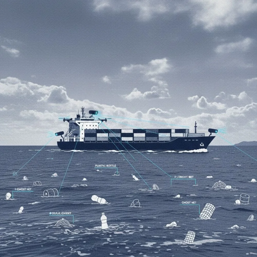
More Eyes, Smarter Sensing , Computer Vision Also at Sea
Automatic identification of marine pollution on vessel cameras
(Coming Soon)
We are working with tech leaders to harness vessel cameras with computer vision, automatically detecting and reporting pollution 24/7. Every ship becomes a sensor, and every route a source of insights, scaling our coverage and accuracy exponentially.
Closing the Loop, Eyesea Collections
From smart mapping to smart collection (Coming Soon)
Data must drive action. Eyesea Collections will connect pollution reports with coordinated clean-up operations and smart routing. This system ensures every mapped hotspot gets attention and results. Efficient, targeted, and transparent. So every effort counts.
Let’s build the future of ocean conservation technology together!
Your technology, your expertise, your ideas - they can accelerate Eyesea’s impact. Do you have a solution to help us see, map, or clean our oceans? Let’s talk! Together, we’ll build a framework where every insight leads to meaningful change.